InSAR-Global, High Cadence Satellite Imagery & Analytics to Manage Design and Built Environment
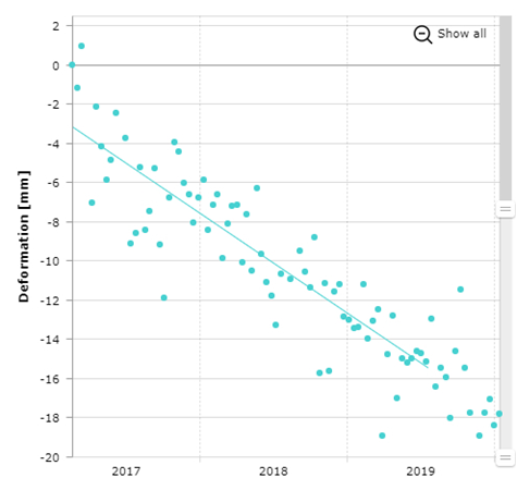
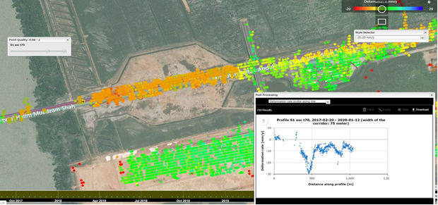
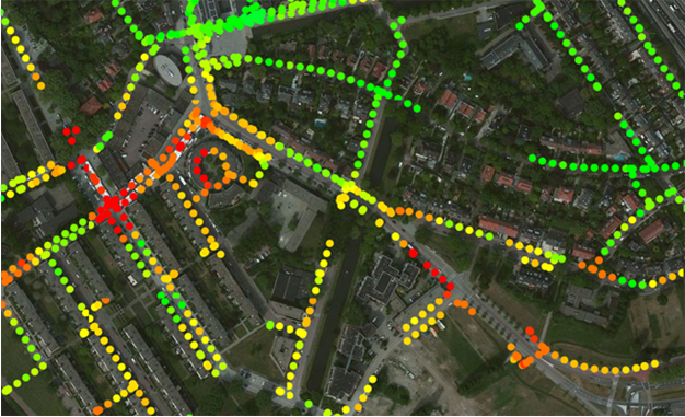
In collaboration with SkyGeo Netherlands BV, Geomotion Singapore is pleased to provide persistent geotechnical risk surveillance to identify areas of abnormal surface movement over time by using INSAR. By assessing time-dependent shape changes in InSAR data, geotechnical domain experts can identify patterns of instabilities. This is a direct pathway to improve asset management.
INSAR is:
Clients will gain new insights from the pairing of the traditional data and satellite data.
In collaboration with SkyGeo Netherlands BV, Geomotion Singapore is pleased to provide persistent geotechnical risk surveillance to identify areas of abnormal surface movement over time by using INSAR. By assessing time-dependent shape changes in InSAR data, geotechnical domain experts can identify patterns of instabilities. This is a direct pathway to improve asset management.
INSAR is:
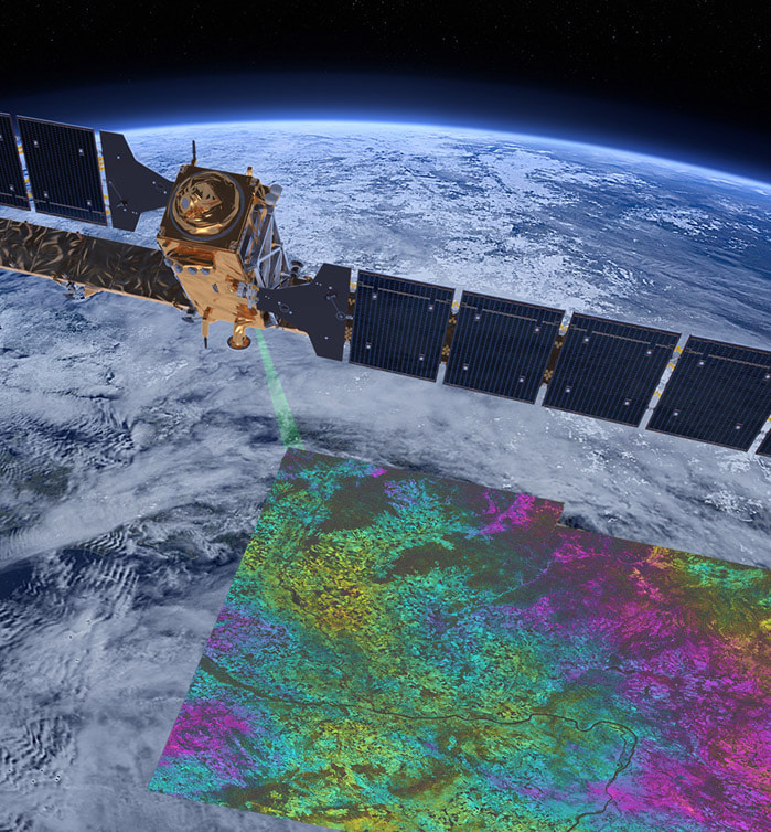
- Technique that maps millimeter-scale deformations of the earth’s surface with radar satellite measurements
- The satellite measures both the amplitude and the phase of the radar signal reflected from the Earth’s surface.
- The phase measurement is important for measuring deformation. A difference in phase between two sequential measurements means that something has changed.
- Satellite data is supported by and supports the traditional instrumentation data.
Clients will gain new insights from the pairing of the traditional data and satellite data.
Disclaimer: Media used in this page may not be property of Geomotion Singapore and they are copyright of their original owner. If you are the original owner and wish to remove it from our site, please email to it@geomotion.com.sg. Thank you.
Services |
Company |
|


